


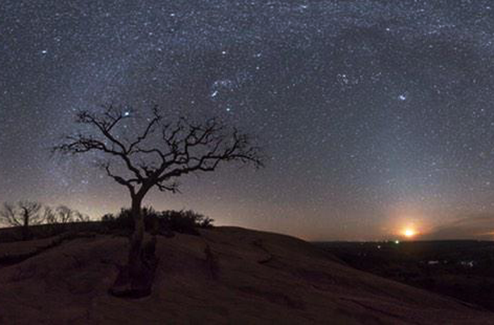
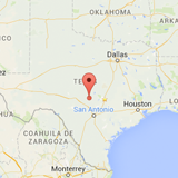
Enchanted Rock State Natural Area, named for its giant pink granite dome rising from the Llano Uplift, spans the border between Gillespie County and Llano County, south of the Llano River and some 24 km north of Fredericksburg, Texas. Popular activities at the park include caving, hiking, primitive backpack camping, rock climbing and picnicking. Enchanted Rock has hosted star parties for park visitors since 2011.
2014
Dark Sky Park
Texas, USA
Google Maps
6.82 km2
Click here to find ideal environmental conditions for viewing the night sky at Enchanted Rock State Park (30.49333, -98.82056). Don’t forget to plan your trip during the new moon and astronomical twilight to enhance the viewing experience!