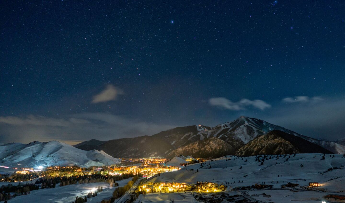


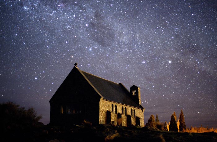
The Aoraki Mackenzie International Dark Sky Reserve is comprised of Aoraki / Mt. Cook National Park and the Mackenzie Basin of New Zealand’s South island. Outdoor lighting controls were first put into place in the area during the early 1980s. They have not only helped minimize light pollution for the nearby Mt. John Observatory, but also conserve energy, protect wildlife, and make the area a popular stargazing destination for tourists.
The natural night has played a critical role in the area’s history as its first residents, the Māori, not only used the night sky to navigate to the island but also integrated astronomy and star lore into their culture and daily lives. The reserve seeks to honor that history by keeping the night sky a protected and integral part of the area’s natural and cultural landscape. It’s a perfect place to protect and honor those traditions as the reserve’s Mackenzie Basin has the clearest, darkest and the most spectacular night sky in New Zealand.
2012
Dark Sky Reserve
South Island, New Zealand
Google Map
4,367 km2
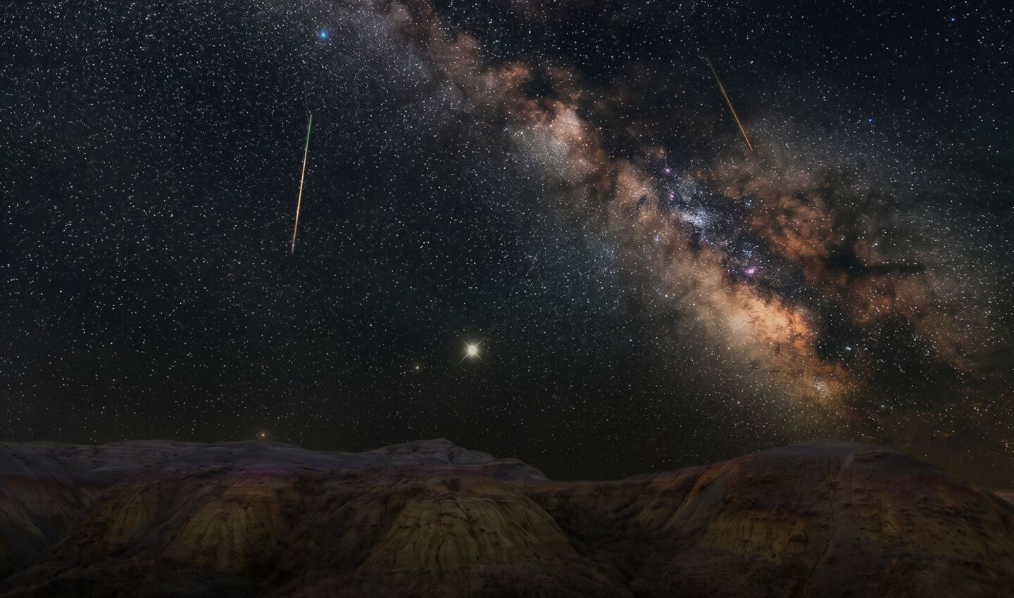
South Celestial Pole from Mt John from Chris Murphy.
(Credit: Chris Murphy / The University of Canterbury Mt. John Observatory)